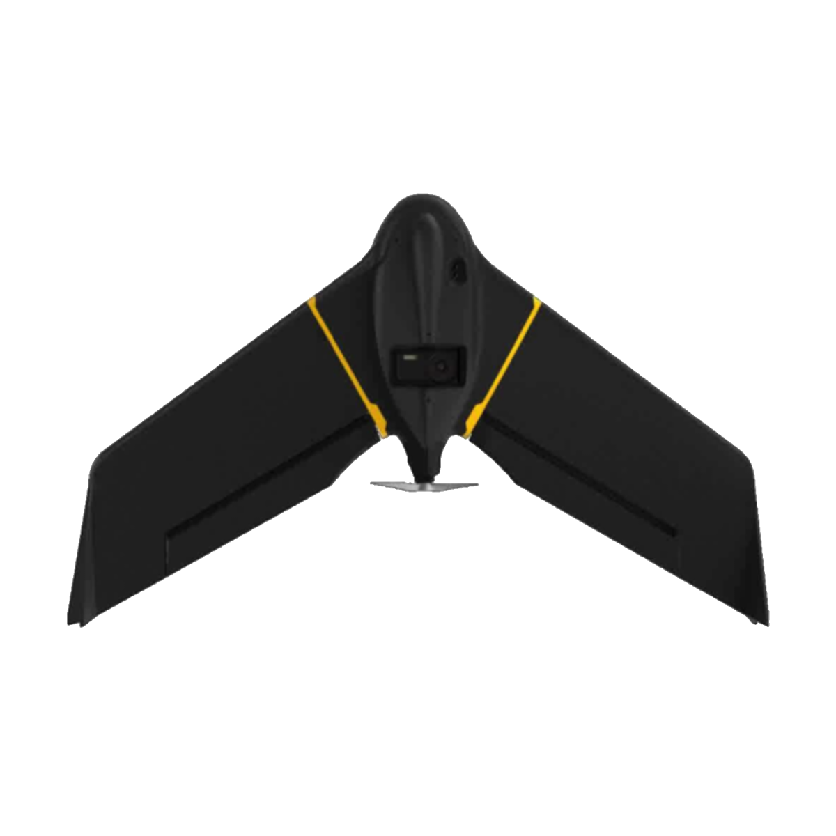
Introducing the eBee Geo: Your Efficient Solution for Aerial Surveying
Experience unmatched efficiency and affordability with the eBee Geo, a fixed-wing drone tailored to meet the needs of surveyors, civil engineers, and GIS professionals. Equipped with a high-quality photogrammetry RGB built-in camera, the eBee Geo streamlines aerial data capture for precise mapping and analysis.
Key Features:
- Affordable Solution: The eBee Geo offers cost-effective aerial surveying capabilities, making it an ideal choice for professionals seeking efficiency without compromising on quality.
- Extended Flight Time: With a flight time of 45 minutes, the eBee Geo enables you to cover vast areas of up to 160 hectares (395 acres) in a single flight, reducing field time and operational costs.
- High Resolution: Utilizing available RTK technology, the eBee Geo achieves a ground sampling distance (GSD) as low as 2.5 cm (1 inch), ensuring detailed and accurate data capture for precise mapping applications.
Unlock the potential of aerial surveying with the eBee Geo, where affordability, efficiency, and precision converge to redefine your surveying workflows.