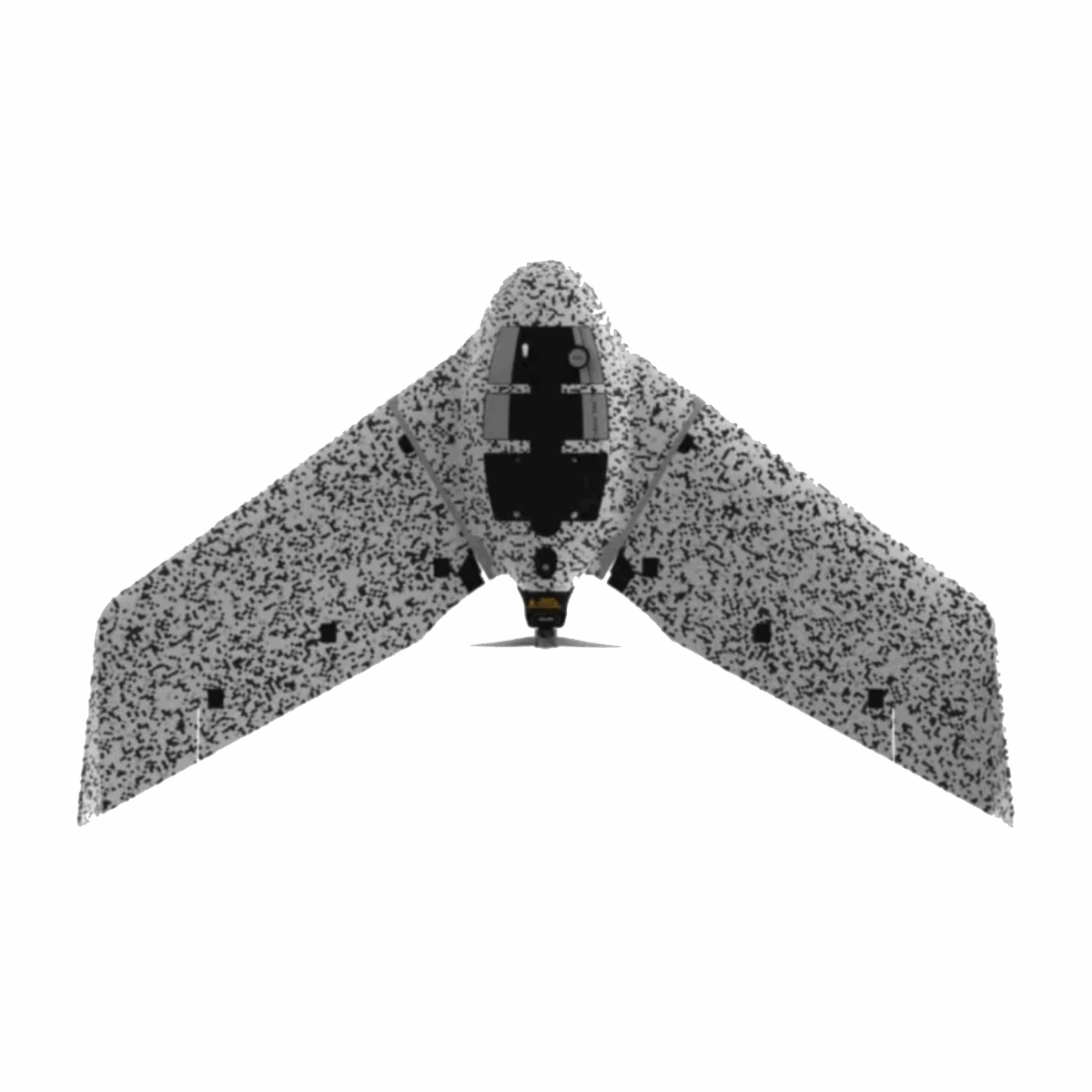
Introducing the eBee TAC: Your Trusted Cyber-Secure Governmental and Tactical Mapping Drone
Engineered to excel in secure and disconnected environments, the eBee TAC stands as a beacon of precision and reliability in governmental and tactical mapping operations. Designed for single-person operation, this drone can be swiftly deployed within a mere 3 minutes, offering unparalleled agility and efficiency in the field.
With the capability to generate 3D models, thermal imagery, and orthomosaics maps, the eBee TAC ensures comprehensive data collection for a myriad of applications, all of which can be shared locally for immediate analysis and decision-making.
Key Specifications:
- Mapping Accuracy: Achieve an impressive mapping accuracy of 1.5 cm (0.6 in), ensuring precision in every detail.
- Extended Flight Time: Benefit from an exceptional flight time of 90 minutes, maximizing coverage and efficiency.
- Large Coverage Area: Cover vast areas of up to 500 hectares (1,235 acres) in a single flight, optimizing operational capabilities.
- Lightweight Design: Weighing just 1.6 kg (3.5 lbs), the eBee TAC offers portability without compromising on performance.
With its robust features and unmatched performance, the eBee TAC ensures reliable and efficient mapping operations, empowering governmental and tactical entities to achieve their objectives with confidence and precision.