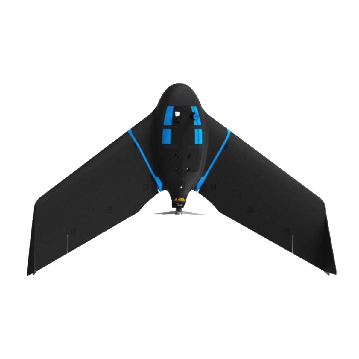
Introducing the eBee Geo: Your Cost-Effective Aerial Survey Solution
Experience enhanced efficiency and affordability with the eBee Geo, a specially designed fixed-wing drone catering to the requirements of surveyors, civil engineers, and GIS professionals. Equipped with a built-in photogrammetry RGB camera, the eBee Geo ensures seamless aerial data capture for accurate mapping and analysis.
Key Features:
- Cost-Effective Solution: The eBee Geo offers a budget-friendly option for aerial surveying, making it an ideal choice for professionals seeking to optimize costs without compromising quality.
- Extended Flight Time: With an impressive 45-minute flight time, the eBee Geo enables you to cover expansive areas of up to 160 hectares (395 acres) in a single flight, significantly reducing field time and operational expenses.
- High Precision: Leveraging available RTK technology, the eBee Geo achieves a ground sampling distance (GSD) as precise as 2.5 cm (1 inch), ensuring detailed and accurate data capture essential for precise mapping applications.
Maximize your surveying efficiency while minimizing costs with the eBee Geo, where affordability and performance converge to elevate your aerial surveying endeavors.