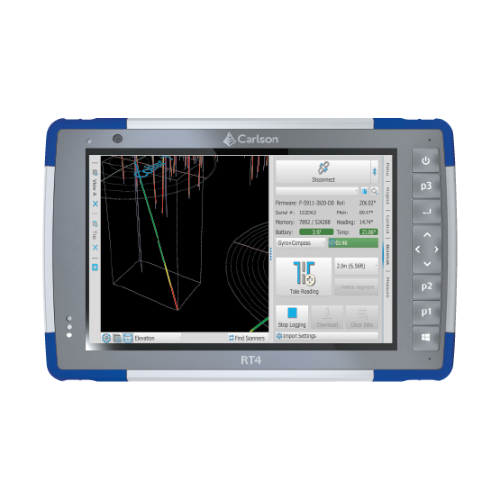
Introducing the Carlson RT4: Your Ultimate Solution for Surveying and Mapping
Designed to excel in surveying, stakeout, construction layout, and GIS mapping tasks, the Carlson RT4 is your go-to companion for precision data collection and analysis. Bundled with Carlson SurvPC, a powerful Windows-based data collection program, the RT4 offers seamless integration for on-field operations. Plus, with the option to run the Esri OEM program for GIS field work, you have access to advanced mapping capabilities right at your fingertips.
Key Features:
- Versatile Applications: The RT4 is versatile, catering to various applications including surveying, stakeout, construction layout, and GIS mapping, making it an indispensable tool for professionals across industries.
- Seamless Integration: Bundled with Carlson SurvPC, the RT4 ensures smooth and efficient data collection in the field, while also providing compatibility with Carlson office software for office-based tasks.
- Enhanced Performance: With 8GB of RAM and 128GB of storage, the RT4 delivers unparalleled performance, enabling faster data collection and analysis, ultimately boosting productivity and efficiency.
Experience the power and efficiency of the Carlson RT4, where cutting-edge technology meets seamless integration for unmatched performance in surveying and mapping operations.